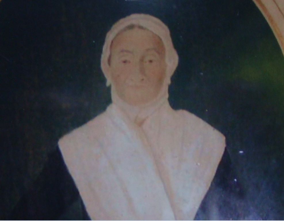
(Continuing our series on the history of the Dvoor Farm by looking at the last Case family member to farm there. Above: Catherine Pownall Ballance Case, wife of John Case.)
The historic Case-Dvoor Farm property had quite a different look back in the mid-1800s. According to the historic evidence, there were a number of buildings on the property back then that no longer exist; others we’re accustomed to seeing today hadn’t been built yet.
When Philip Case died on May 5, 1831, he left behind a personal estate valued at roughly $3,600, a tidy sum for rural Hunterdon County at that time. In fact, one could count him among Hunterdon County’s wealthier residents. He left the tannery lot to his son Joseph and the 70-acre homestead farm to his sons Peter and John.
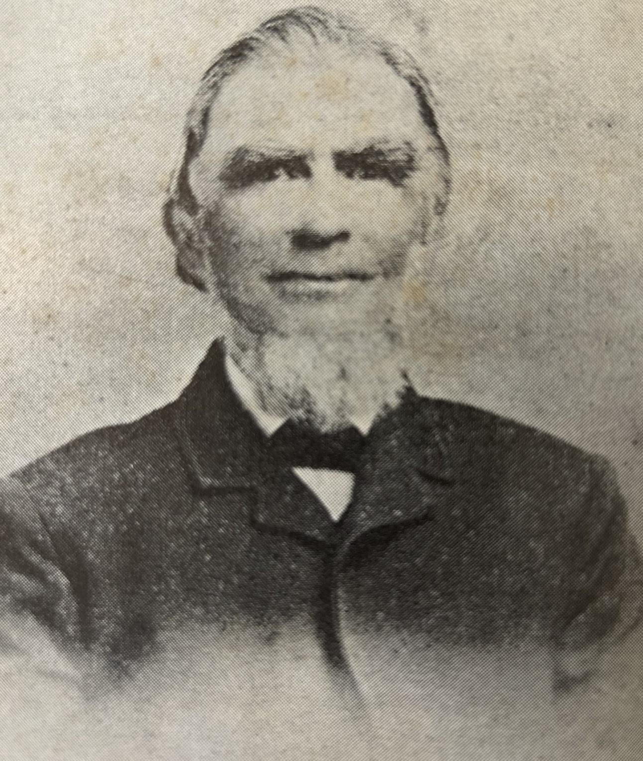
Peter sold his half interest to his brother in the spring of 1832, and John evidently moved from Bucks County, Pa. to take up residence in the stone home.
In 1850, map and census data clearly shows that John Case lived in the home with his wife Catherine and children Daniel, age 16, Joseph, age 12 ,and Catherine, age 9. John, whose occupation is listed as farmer, owned real estate valued at $17,000.
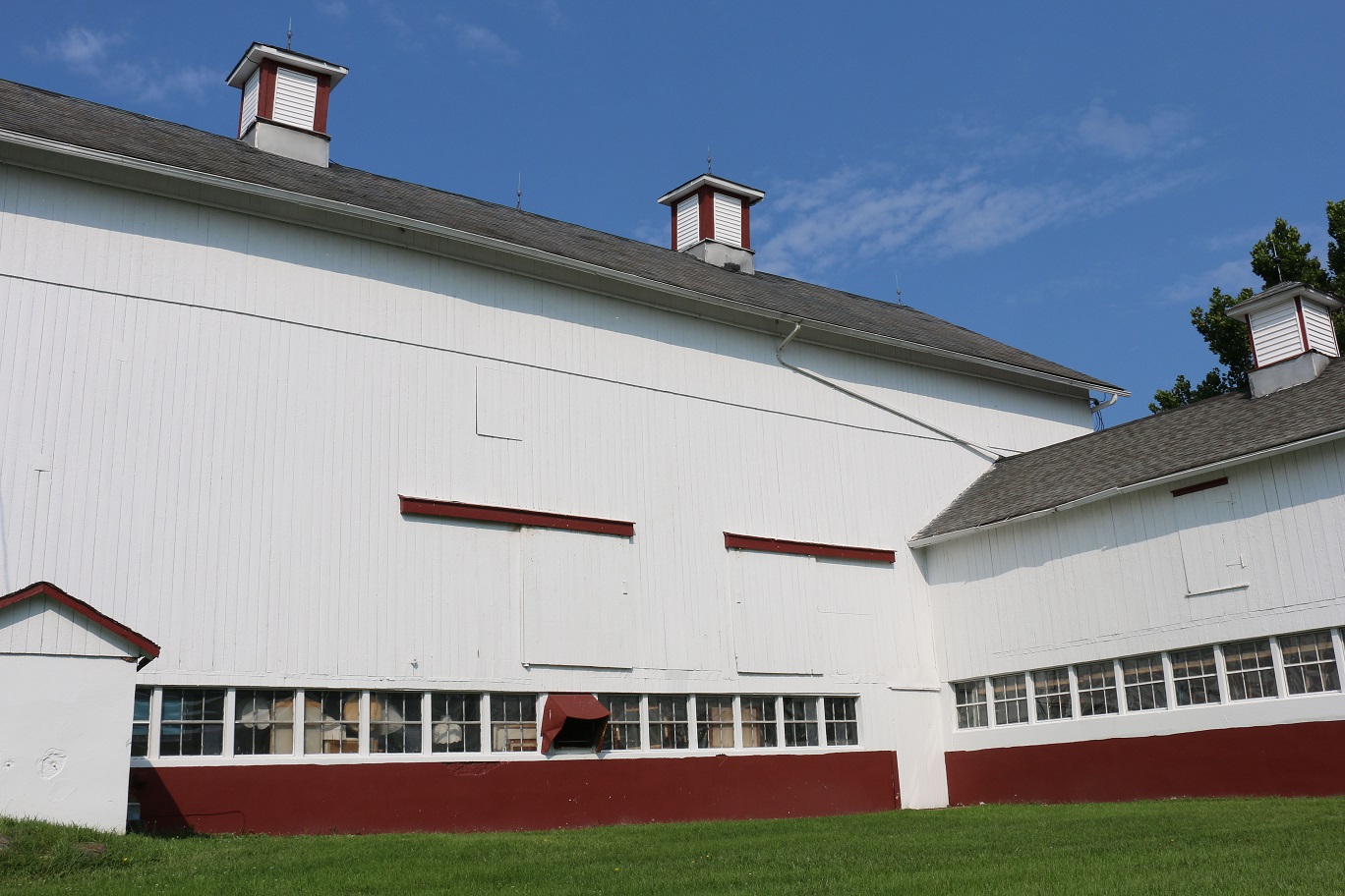
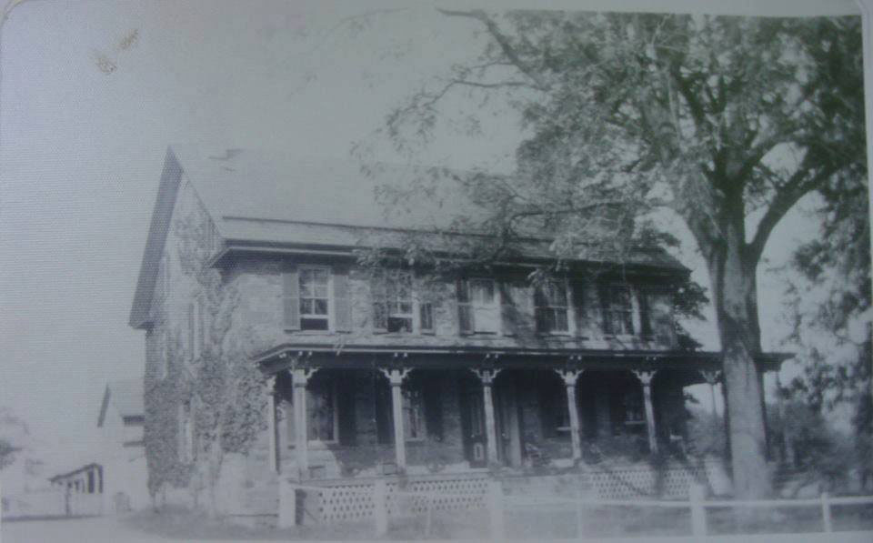
So what would you have seen riding along Mine Road back then? Two 1850s maps give us the earliest detailed cartographic representations of the property. An 1850 map of Raritan Township indicates that the present configuration of the farmstead had been established by this time. What must be the existing stone house is located close to the road with an outbuilding just to its rear; a cluster of three buildings, presumably a barn and two agricultural outbuildings, is located northwest to the site’s present barn complex.
These maps also include a depiction of three or four buildings clustered along the road to the east of the stone home. These are likely the tenant houses associated with the copper mining company established a few years earlier on what was once the Capner property. (We’ll discuss the mining company next time.)
The group of buildings might also include the original stone Case home. Three buildings just north of the cluster and closer to the brook may have been the tannery buildings.
An 1859 map of the mine property shows a four-unit row of miners’ houses on the west side of the creek on the site of the houses shown on the 1850 map. This map includes a vignette that depicts the cluster near the road — the miners’ homes — as a substantial building comprised of what appears to be three sections, the middle one much higher and wider than the flanking ones and perhaps divided into two three-bay units. To the west of the row can be seen the gable-end wall of a two-story gable-roofed house with what may be a first-story appendage or porch. This must be the Case-Dvoor house.
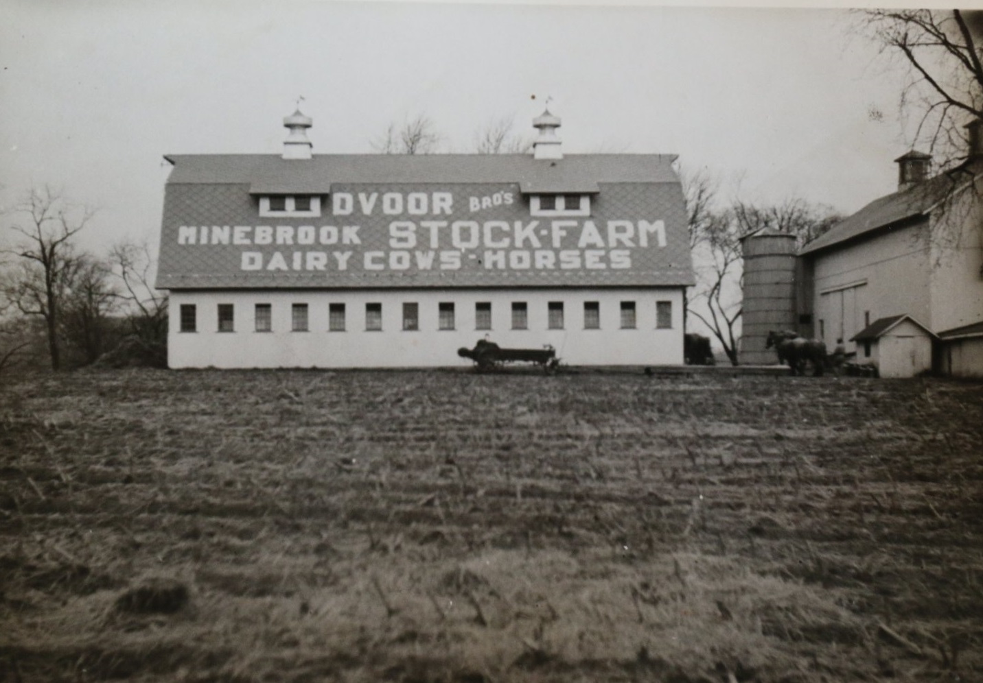
In 1860, John Case would leave the property and by the early 1870s, a family from New Hampshire would take over the farm. They would build one of the significant outbuildings so familiar to Dvoor Farm visitors today.